

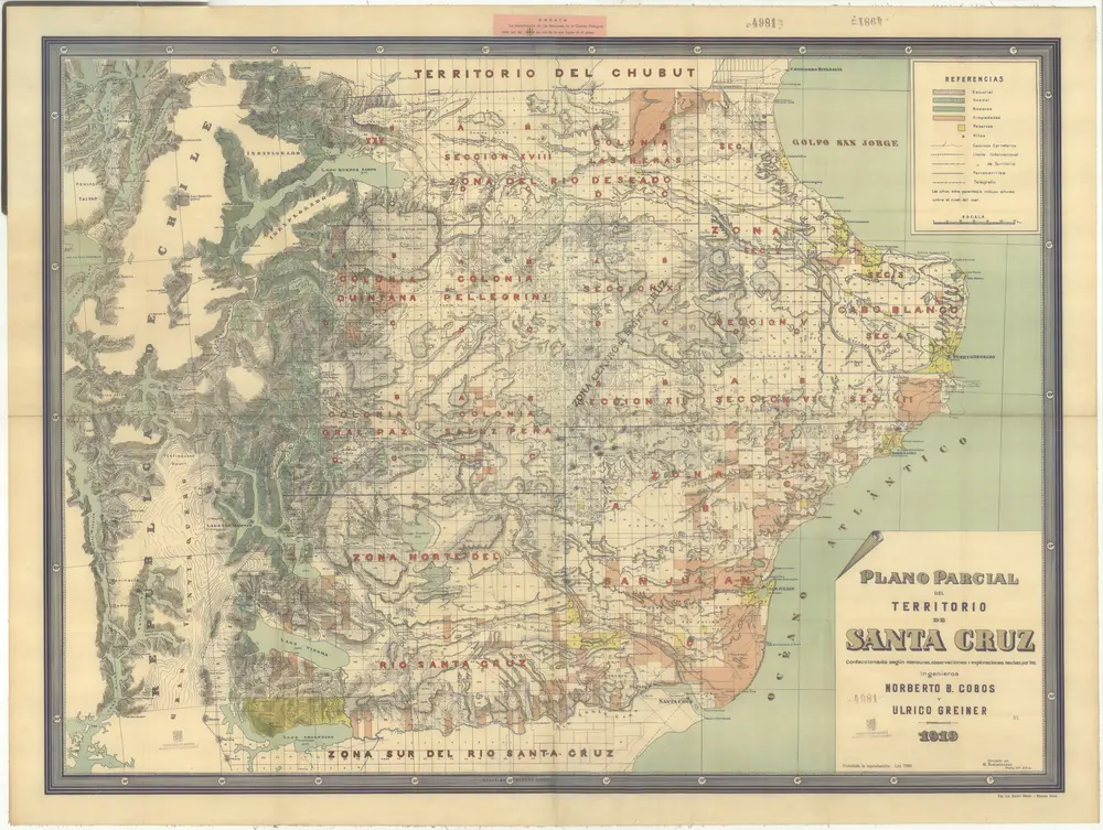
Plano parcial del territorio de Santa Cruz
1919
Cobos, Norberto B.
1:681k
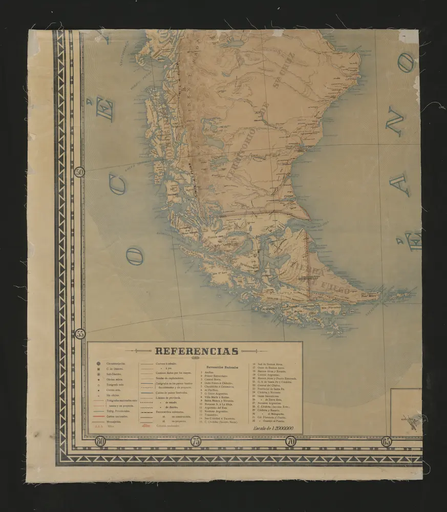
Mapa de las comunicaciones postales y telegráficas de la República Argentina y las de sus conexiones con los paises limítrofes
1898
Buenos Aires : Compañia Sud Americana de Billetes de Banco
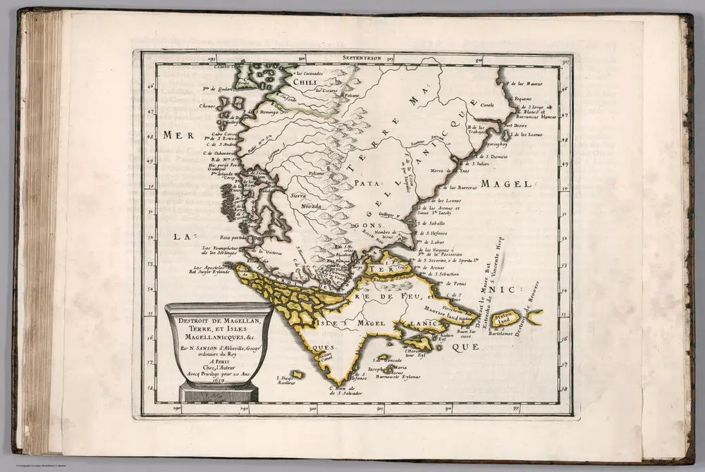
Destroit de Magellan
1657
Sanson, Nicolas, 1600-1667
1:9m
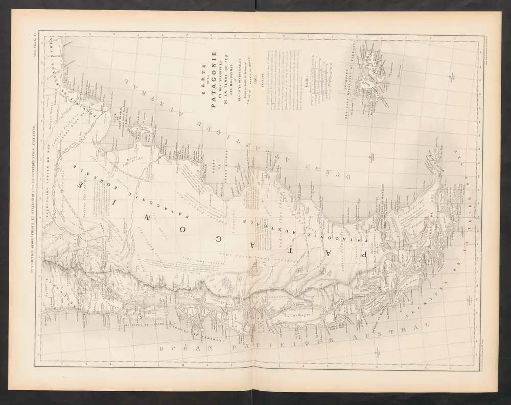
Carte de la Patagonie et des Archipels de la Terre de Feu des Malounies et des Còtes Occidentales
1873
Martin de Moussy, Victor
1:2m
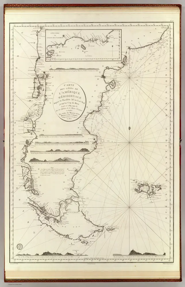
Amerique Merid., cotes.
1800
Spain. Marina
1:6m
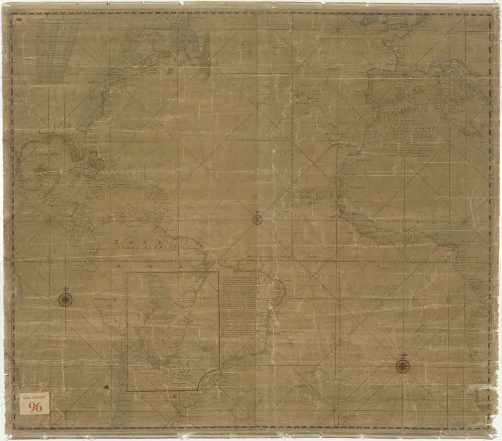
Pascaart vertoonende de West-Indische als ook de Westelykste Custen van Europa en Afrika. Eertyds in 't ligt gebracht door wijlen Pieter Goos enz., door Joanes van Keulen en Zoonen.
1759
Van Jagen

Mapa No. 1. Republica de Chile.
1903
Espinoza, Enrique
1:5m
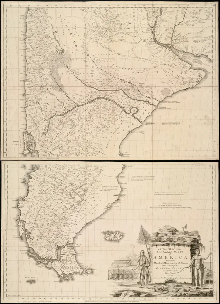
A new map of the southern parts of America taken from manuscript maps made in the country and a survey of the eastern coast maode by the order of the King of Spain
1772
1:3m
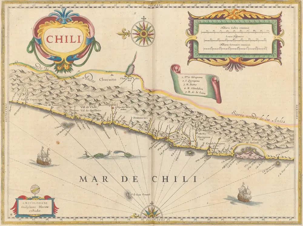
Chili [Karte], in: Le théâtre du monde, ou, Nouvel atlas contenant les chartes et descriptions de tous les païs de la terre, Bd. 2, S. 347.
1645
Blaeu, Willem Janszoon und Blaeu, Joan
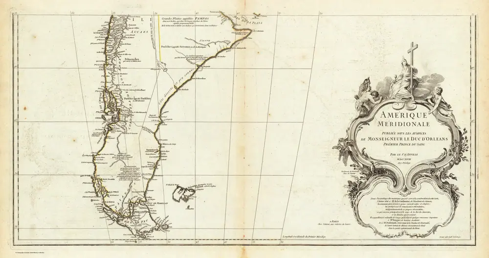
Amerique Meridionale. (Southern section)
1748
Anville, Jean Baptiste Bourguignon d, 1697-1782
1:6m

