Sign in to access WMTS endpoints.
Sign in to download GeoTIFF.
Sign in to export as IIIF.
Compare
Website
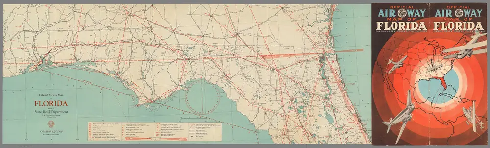
Covers: Official Air Way Map of Florida (Aerial Cross-Roads of the Americas). Official Airway Map of Florida (northern portion).
9791.001
missinglocation
(Covers to) Official Air Way Map of Florida (Aerial Cross-Roads of the Americas). Official Airway Map of Florida (northern portion).
1950
Aviation Department, Florida State Road Department
Florida State Road Department
96 × 29 cm
1 : 2682000