Mapas de Halfway (Maryland)
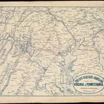
 1861|L. Prang & Co.
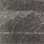 1840|none1:521 015
 1861|J. Wyld
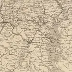
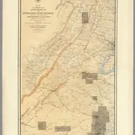 1869|Weyss, John E.1:285 120
 1863|Russell, B. B. (Benjamin B.)1:520 000
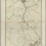 1828|Stansbury, A.J.1:316 800
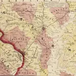
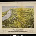 1861|L. Prang & Co.
Mapas antigos de Halfway (Maryland)
Descubra o passado de Halfway (Maryland) nos mapas históricos
Mapas antigos de Halfway (Maryland)
Descubra o passado de Halfway (Maryland) nos mapas históricos
À procura de um Alternativa à API do Google Maps?