David Rumsey
ArcGIS, QGIS or web apps can simply use this map with web map services. WMTS, TileJSON or XYZ tiles are provided for quick access to processed maps.
Sign in to get links.
Sign in to download GeoTIFF.
Overlay & compare
iiif viewer, iiif info json
Website
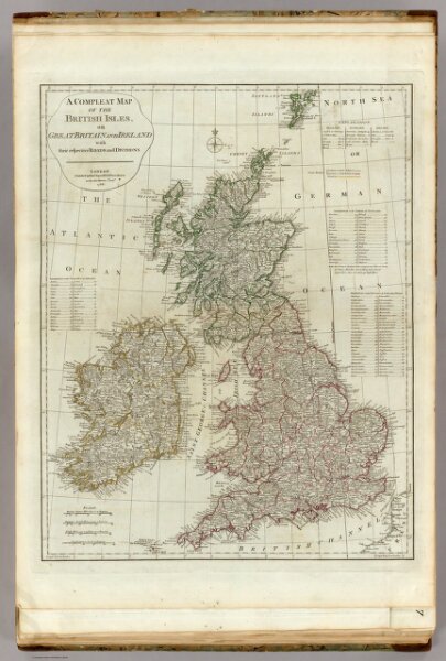
A compleat map of the British Isles.
0411.007
pilot4
A compleat map of the British Isles, or Great Britain and Ireland with their respective roads and divisions. (By Thomas Kitchin). London: published by Robt. Sayer, no. 53 Fleet Street, as the Act directs, 1st Jany. 1788.
1788
1790
Kitchin, Thomas
Robert Sayer
48 × 61 cm
1 : 2200000